A unique map of old place and field names around Borgue is nearing completion. But the Borgue Field Name Project is still missing a few pieces of the jigsaw. Hundreds of descriptions have been logged so far by a team of local volunteers. Now they are keen to fill in the gaps before age-old descriptions are lost forever. The project, part of the Galloway and South Ayrshire Biosphere’s PLACE initiative, depends on tapping into local knowledge. And according to Borgue Community Council chairman John Shields, the public response has been excellent. He said: “A big part of this project is to ensure this stuff survives and is catalogued. Otherwise, it will all be lost as this generation disappears. It has simply been a matter of knocking on farmers’ doors. And not just farmers but ex-farmworkers as well. Adam Gray who has sadly passed away was a keen historian. A lot of information came from the Gray estate.”
Borgue and its parish lands boast a rich Gaelic, Scots and Viking heritage dating back centuries. The village name itself derives from the Old Norse ‘borg’ signifying a stronghold. It only had the ‘ue’ added in recent years for the sake of appearance.
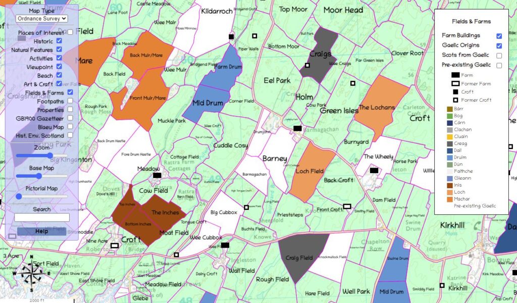
Mr Shields said: “There’s a lot of secondary information in many of the names. For example, they can tell us how the land was used and about the people involved in working it. Many names are of Celtic, Gaelic or Norse origin while some are named after local farmers of old.”
Among the local names researched is Hac Noose, a big field next to the shore-side road between Brighouse Bay and Rockvale. Its meaning could derive from the Old English for a hook-shaped headland. Another theory contends that it is based on the Old Norse ‘hack’ – a fish-trap. Mr Shields said: “We have not got a final solution to that one yet.”
Imaging of Borgue from the sea and map-making have formed part of the project. The Lottery-funded scheme is being supported by Galloway and Southern Ayrshire Biosphere and the Southern Uplands Partnership. Biosphere communities in the Wigtownshire Moors and the Stinchar Valley are also taking part.