The footpath from Borness down to the coast (D&G Core Path 173) has been cleared and now provides an accessible route from the Borness road down to the coast. Many thanks to Robbie Cowan, D&G Council’s Countryside Access Officer.


The footpath from Borness down to the coast (D&G Core Path 173) has been cleared and now provides an accessible route from the Borness road down to the coast. Many thanks to Robbie Cowan, D&G Council’s Countryside Access Officer.
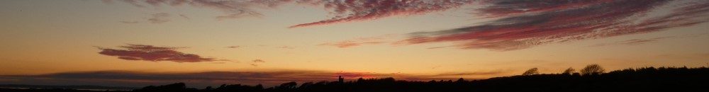
Galloway has been confirmed as the proposed location for Scotland’s next National Park with a further investigation to be carried out on its suitability.
The joint proposal from the Galloway National Park Association and the Galloway and Southern Ayrshire UNESCO biosphere highlights Galloway’s diverse landscapes and stunning coastline, its outstanding biodiversity and rich cultural heritage.
Well done to the pupils from Borgue School who went down to Brighouse Bay for a big beach cleaning session.


The Borgue Field Names exhibition is on display at the Stewartry Museum in Kirkcudbright until January 2024. There will also be a talk about the Borgue Field names by Michael Ansell in Kirkcudbright Parish Church Hall on Wednesday 25 October, from 7 to 9p.m.

Today is the last day of opening for the Cream o’ Galloway visitor centre. The ice-cream making business has been sold to a new operator so hopefully we will be able to continue to enjoy their excellent ice creams. The Ethical Dairy will continue to make artisan cheeses which will be available in local outlets. The Ethical Dairy farm tours will continue and the nature trails will remain open to visitors.
A big thank you to Wilma and David Finlay who have grown the business over the last 30 years, pioneering the development of organing and regenerative farming practices.
We had the opportunity to get a skip, sponsored by the Solway Firth Partnership, to collect rubbish that had accumulated over a period of several years along the stretch of coast between Kirkandrews and Carrick. A team of local volunteers set to work over a fine, sunny weekend in March to fill the skip.


A set of panorama panels, featuring paintings by Ann Butler, has been installed at the Knockbrex Hill viewpoint overlooking Ardwall Island. These panels were created as part of the Borgue PLACE project, sponsored by the Galloway and South Ayrshire Biosphere and the Heritage Lottery Fund. The project collected and analysed place names and field names from around the Borgue area.
The panels illustrate the views in four directions and during the four seasons. Places of interest and field names are labelled and examples of local wildlife are also included. Images of the panels are from Richard Ryall.


The panels were unveiled at a small gathering on Knockbrex Hill on 12th January 2022.
Many thanks to David and Dora Austin, who farm the surrounding land from Boreland of Girthon, for their help with the field names project and for installing the panels.
The Borgue Field Names project was featured on BBC Scotland’s Landward programme this week. Rachel Lucas, who was involved in collecting the field names, and local farmer Neil Picken were interviewed by Dougie Vipond on the programme.

Unfortunately, the episode is no longer available on BBC iPlayer.

The August 2021 edition of Dumfries & Galloway Life magazine has an article about the Borgue Field Names project.


